GEOSCIENCE SERVICES

Integrated field expertise, reliable data and practical exploration insight.

Our Expertise

Services across the exploration lifecycle

We bring geological, geophysical and geotechnical methods together to help clients understand the subsurface, define targets and make informed project decisions.

Geophysical Surveys

  • Ground magnetic and drone-based magnetic surveys
  • Induced Polarisation (IP) and electrical resistivity (VES, ERT)
  • Electromagnetic (EM) and Very Low Frequency EM (VLF-EM)
  • Gravity, radiometric, Self-Potential (SP) and GPR surveys
  • Geophysical data acquisition, processing and interpretation
Geology & Mineral Exploration

  • Geological and structural mapping
  • Mineral exploration across commodities
  • Geological-geophysical integration
  • Mineral target generation and exploration consultancy
  • Drill core logging, sampling and field support

Geotechnical & Groundwater

  • Geotechnical investigations and ground stability assessments
  • Mapping natural and man-made subsurface voids
  • Commercial groundwater exploration
  • Site investigation and subsurface characterization

Project Delivery

  • Exploration program planning and project management
  • Data quality assurance and quality control (QA/QC)
  • Technical reporting and interpretation
  • Field training and operational support
A focused service

Electrical Resistivity Tomography

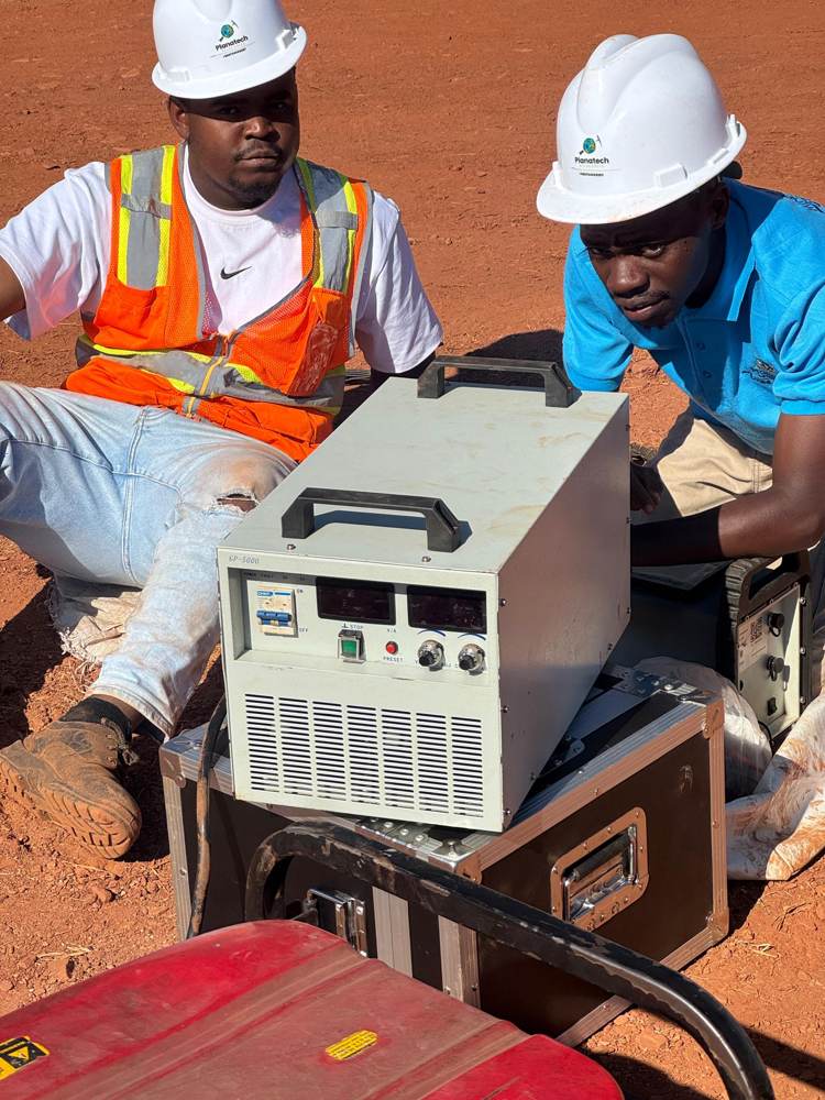
ERT measures the electrical response of the ground to produce subsurface sections that can support void detection, ground stability assessments and mapping of geological structures.

REQUEST A SURVEY
Crew conducting an electrical resistivity survey