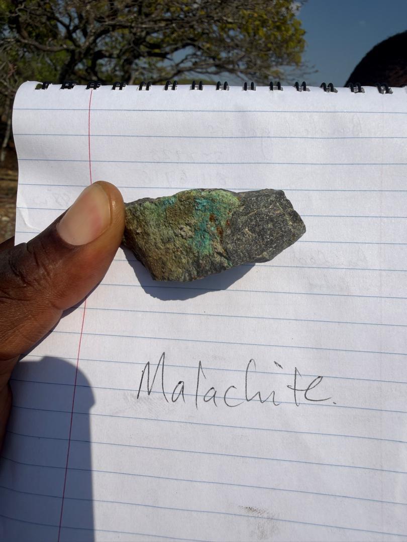
Geological Mapping
Lithological and structural observations, outcrop recording and field interpretation.
A snapshot of the methods and field programs supported by our team. Project scope is tailored to each client’s geology, objectives and operating environment.
Lithological and structural observations, outcrop recording and field interpretation.
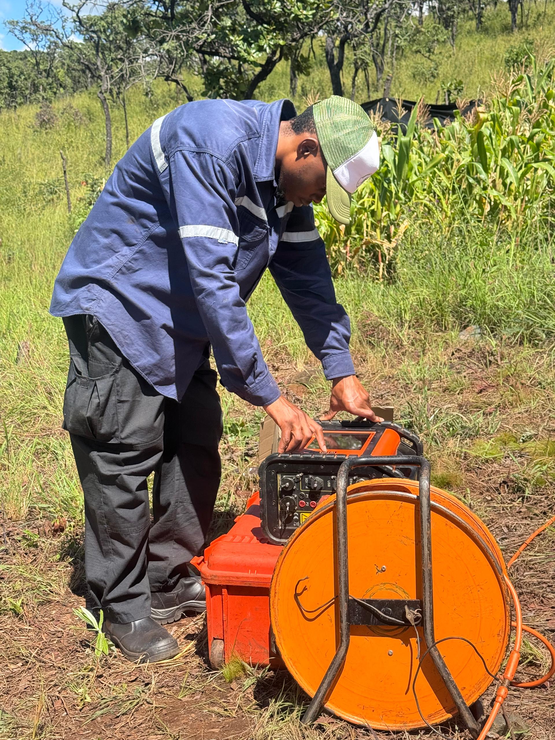
Electrical resistivity and induced polarization field surveys for subsurface investigation.
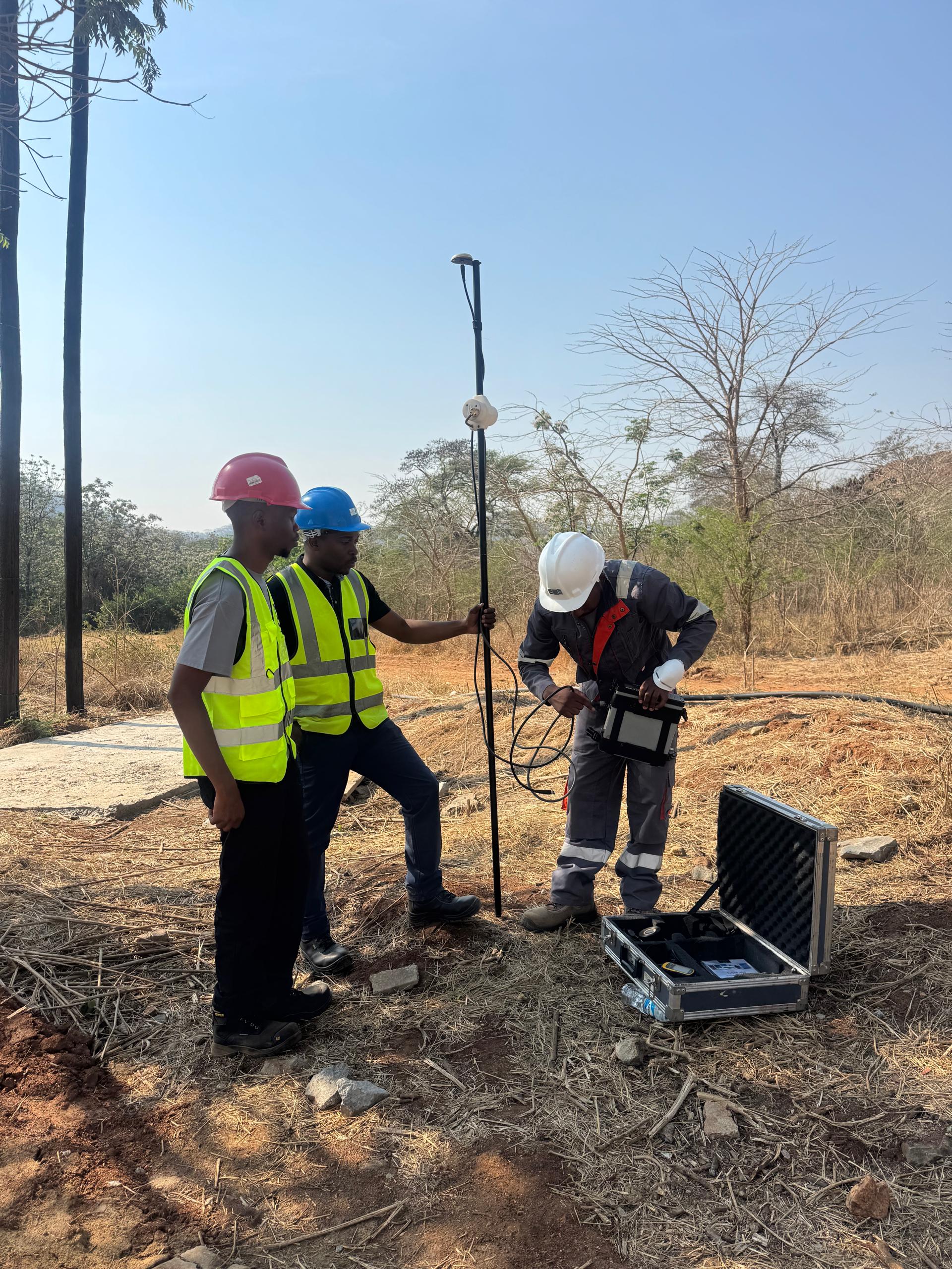
Ground-based magnetic data acquisition to support geological mapping and target definition.
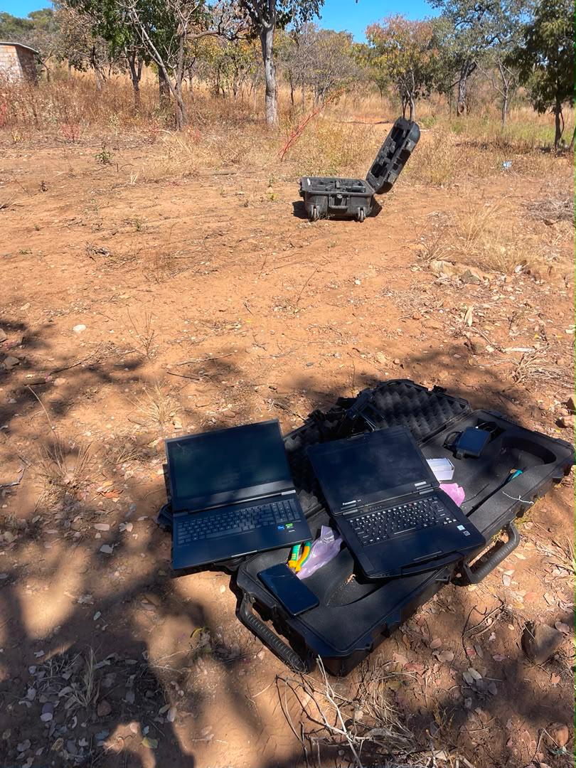
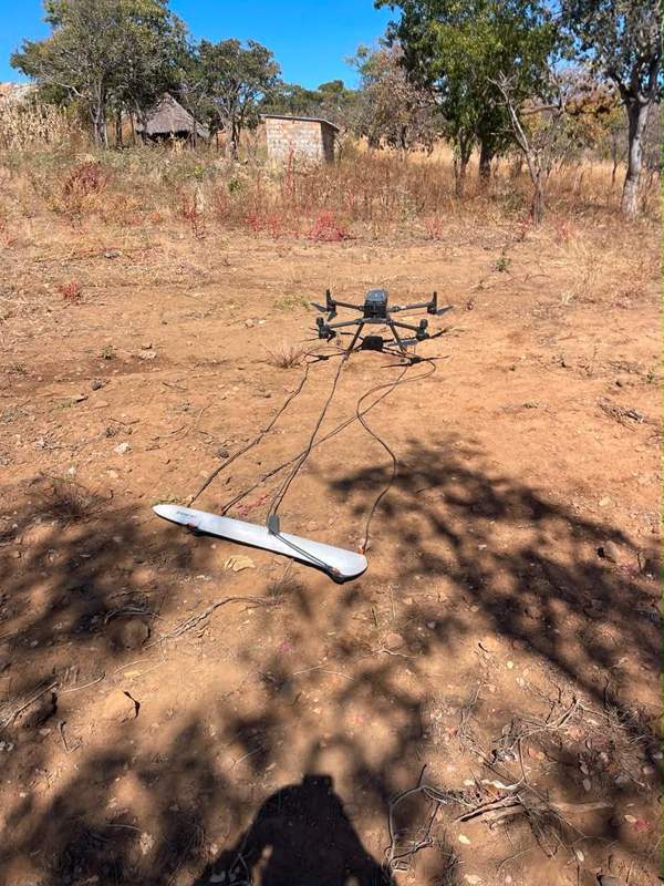
Drone-borne survey operations for efficient coverage of exploration areas.

Field support, core logging and geological observations to document drill programs.
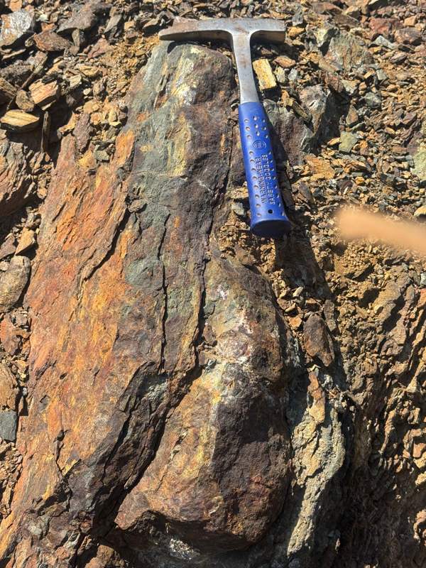
Field examination of alteration, mineralisation, structures and host lithologies.